National Register of Historic Places in San Francisco
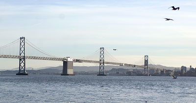
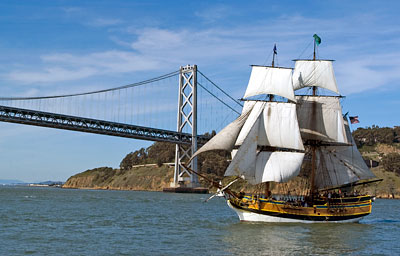
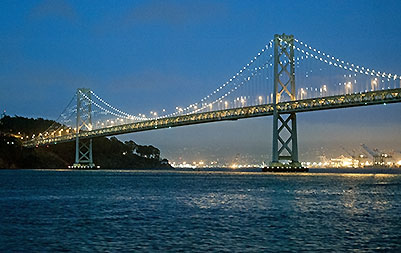
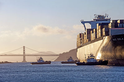 View of Bay Bridge from Alameda Estuary
Photographed from Foredeck of USS Potomac
On a Flights and Lights Cruise
13 September 2013
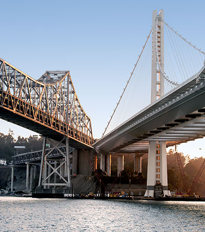
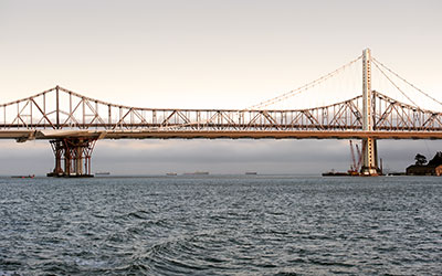 Old and New East Spans
The historic torpedo storehouse is visible
under the new span.
13 September 2013
San Francisco Bay Bridge
Interstate 80
San Francisco Bay
Built 1936
The Bay Bridge is the longest steel high-level bridge in the world.
The Yerba Buena Tunnel with its diameter of 58 feet, which forms part of the highway between San Francisco and Oakland, is the tallest bore in the world.
Additionally, the Bay Bridge can boast of the fact that its construction required the greatest expenditure of funds ever used for a single structure in the history of man. Its foundations extend to the greatest depth below water of any bridge built by man; one pier was sunk at 242 feet below water, and another at 200 feet. The deeper pier is bigger than the largest of the Pyramids and required more concrete than the Empire State Building in New York.
From Symphonies in Steel: Bay Bridge and the Golden Gate by John Bernard McGloin

Six buildings and nine structures contribute to this National Register listing.
The most prominent building was the Transbay Transit Terminal Building, demolished in 2010 to make way for a new Transbay Transit Center. Others building include several electrical substations and a firehouse on Yerba Buena Island.
The primary structures are:
- the West Span, a suspension bridge between San Francisco and Yerba Buena Island
- Yerba Buena Island tunnel
- the East Span, a cantilever and truss bridge between Yerba Buena Island and Oakland
The East Span was damaged in 1989 by the Loma Prieta Earthquake. A new East Span opened on 2 September 2013.
Source: NRHP Nomination dated 29 February 2000

Interstate 80, which runs from downtown San Francisco to the New York City Metropolitan Area, closely approximates the route of the Transcontinental Railroad and the Lincoln Highway. In the West, I-80 traces the California Emigrant Trail.
Even though I-80 crosses the Sierra Nevada Mountains, the Basin and Range, the Wasatch Mountains and the Rocky Mountains, the highway passes through only three tunnels. One would think that the tunnels would be high in these mountains, but one would be wrong.
The first tunnel is right here on Yerba Buena Island almost at sea level. The second is in Carlin Canyon in Nevada. (We visited Carlin Canyon, but did not realize that the interstate tunnel was a photo-op.) The third set of tunnels, near Green River in Wyoming, passes under a dried lake bed.
